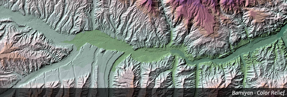
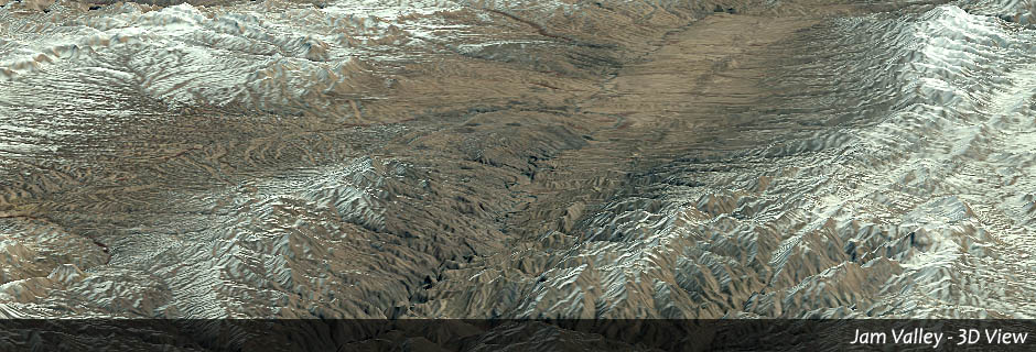
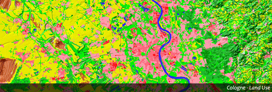
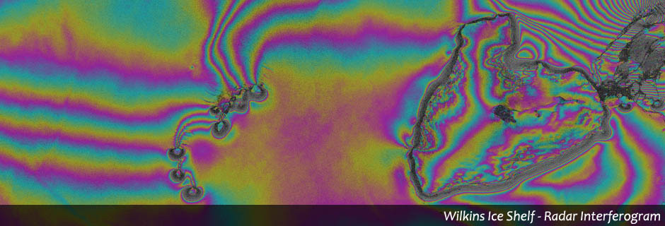
Digital Elevation Models
Elevation information is of fundamental importance for all kinds of questions from exact spatial positioning to hydrological analysis to attractive 3D-visualizations.
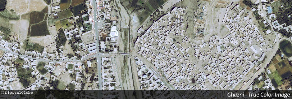
GEOSCAP offers:
◌ Photogrammetric evaluation of satellite and aerial images, e. g. stereo images from current sensors like WorldView-3, GeoEye-1, Pléiades 1 and others
◌ Processing of LiDAR-data
◌ Generating topographical information and various deducted parameters
GEOSCAP’s projects: