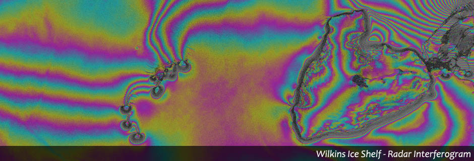
Radar
Radar data allow the detection of complimentary qualities of the earth’s surface in addition to determination via multi- / hyperspectral data. Moreover, the more detailed usage of radar infereometric methods enables us to recognize smallest changes in elevation (in millimeter range).
GEOSCAP offers:
◌ Detection of elevations and lowering in urban areas
◌ Registration of movements on the surface e. g. movements of glaciers or by earth-quakes
◌ Detection of land cover changes like settlement growth or building damage detection