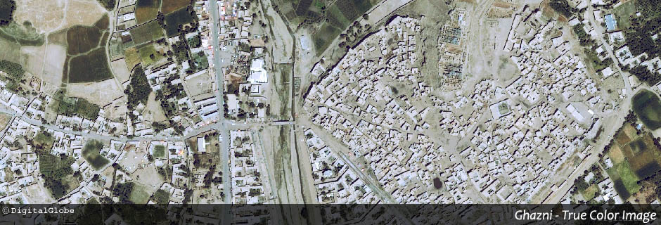
Multispectral
Multispectral data are the most often used data when it comes to capturing the earth’s surface. They exist for all regions of the globe in high temporal and many different spatial resolutions and are available on demand.
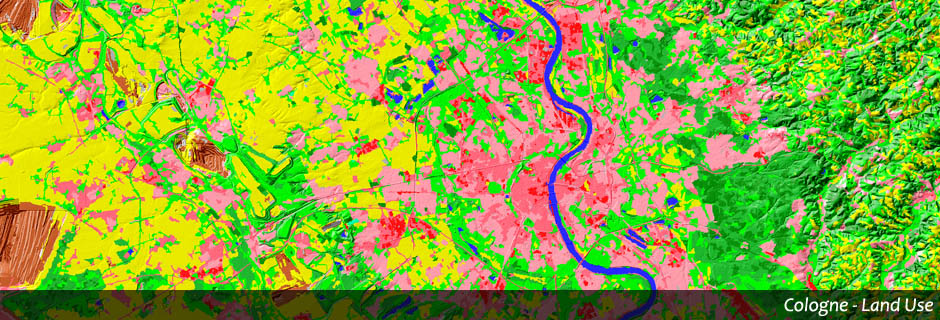
GEOSCAP offers:
◌ Gathering of different land uses (classification)
◌ Displaying any form of temporal change of the surface of the earth (change detection), e.g. impervious surfaces
◌ Determining type and condition of vegetation
GEOSCAP’s projects: