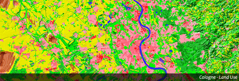

Geographic Information System
In Geographic Information Systems (GIS) all kinds of spatial information will be gathered. They allow a detailed evaluation of the data in many various aspects.
GEOSCAP offers:
◌ Specification and set up of a GIS
◌ Procurement and integration of the necessary data
◌ Support with usage and evaluation, e. g. statistical analysis
GEOSCAP’s projects: