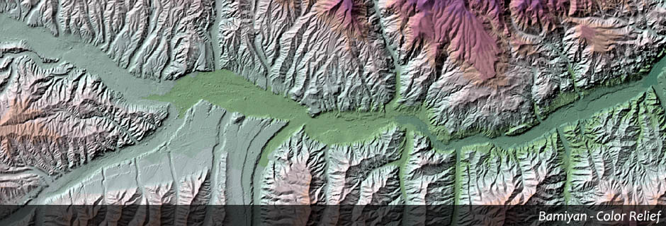
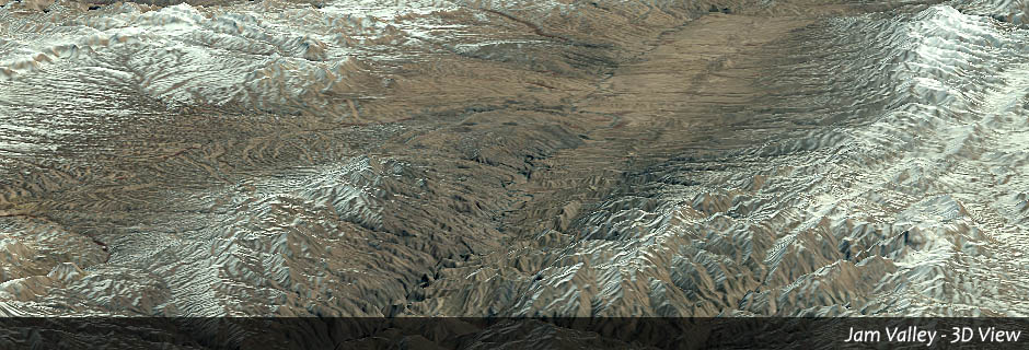
3D - View
For the purpose of static visualization 3D-information is added to the satellite images.
GEOSCAP offers:
◌ Preparing the data in a way that a spatial impression is created, for example draping of satellite images over an elevation model, relief representations and more …
◌ Different perspectives from freely selectable points in space