Video - Animation
High-resolution image data in combination with elevation models can be shown - thanks to modern computer performance – in form of video animations which helps communicating facts in a vivid way.
GEOSCAP offers:
◌ 3D-animations, like computer generated overflights
◌ Cross fade techniques to present many different data layers within ONE video animation
◌ Usage of professional animation software for large-format presentations
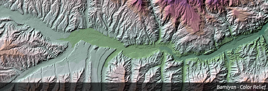
See also --> Overflight - Valley of Bamiyan
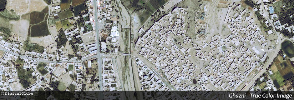
See also --> Animation - City Wall of Ghazni