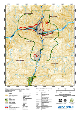

Minaret of Jam - Cartography
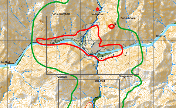
The Minaret of Jam has become official World Heritage Site of the UNESCO in 2002. A highly precise topographic map was needed to newly identify the protected areas.
GEOSCAP produced:
◌ All reference material for the new official map of the UNESCO
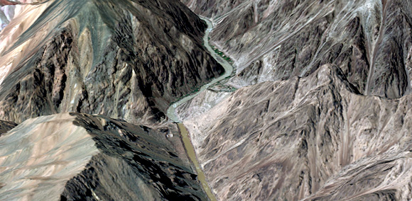
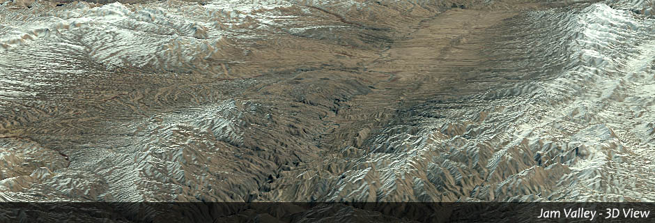
◌ A photogrammetrically generated high-resolution digital elevation model including manual collection of elevation lines and structures
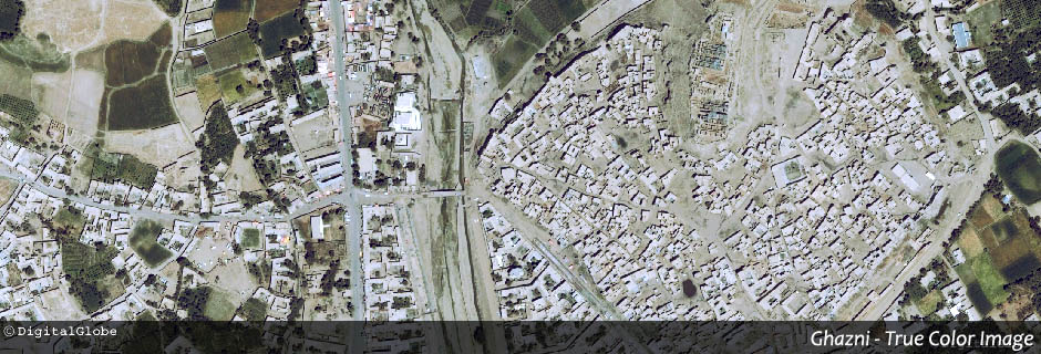
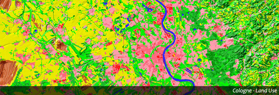
◌ A land use classification (buildings, vegetation, streets, water)
◌ All layers for the map production
Client: OCDC / UNESCO